


Step 2: Characterize Your Watershed (cont.)
Identifying Data Gaps
One of the most difficult challenges in watershed planning is knowing when you have enough data to identify relationships between impairments and their sources and causes. There will always be more data to collect, but you need to keep the process moving forward and determine whether you can reasonably characterize watershed conditions with the data you have. The first step to identify gaps in your data is to review your data ask the following questions:
- Do I have the right types of data to identify causes and sources?
- What is the quality of the data?
Be careful to first determine whether the data are essential to the understanding of the problem. For example, although it might become obvious during the inventory process that chemical data are lacking, this lack of data should be considered a gap only if chemical data are essential to identifying the possible sources of the impacts and impairments of concern. If the necessary datasets are available, you should then compare the quality of the information with the data quality indicators and performance characteristics. If the data quality is unknown or unacceptable (that is, it doesn't meet the needs of the stakeholders for watershed assessment), you should not use the existing dataset. Using data of unknown quality will degrade the defensibility of management decisions for the watershed and could, in the long run, increase costs because of the increased likelihood of making incorrect decisions.
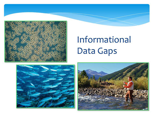
Remember that collecting existing and new data, identifying data gaps, and analyzing data is an iterative process. Although obvious data gaps can be identified during the data inventory process, more specific data needs are often discovered only during data analysis and subsequent activities, such as source assessment or modeling. Several different types of data gaps might require that you collect additional information. What constitutes a gap is often determined by the information needed to adequately identify and characterize causes and sources of pollutants in the watershed. There are three major types of data gaps—informational, temporal, and spatial.
At this point, you’ve collected existing data for your watershed, assessed its quality and relevance, and identified gaps. If you can identify and quantify the water quality problems in the watershed, quantify pollutant loads, link the water quality impairments to specific sources and source areas, and you know enough to select and target management measures, you can move on to the next step and analyze the data.