


Step 3: Finalize Goals and Identify Solutions (cont.)
Identify Critical Areas and Management Strategies
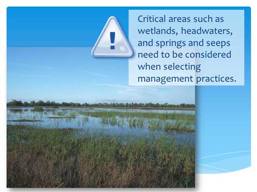
Using the information you have collected, you can locate critical areas where management measures will likely achieve the greatest pollutant load reductions. In general, management practices are implemented immediately adjacent to the waterbody or upland to address the sources of pollutant loads. Using the locations of the pollutant sources will help you identify possible locations to target. GIS maps with overlays of impaired waters, impervious cover percentages, or other key information can also help target critical areas.
Identifying critical areas for reducing pollutant loads also helps to satisfy element c of the section 319 guidelines — describe management measures and targeted critical areas.