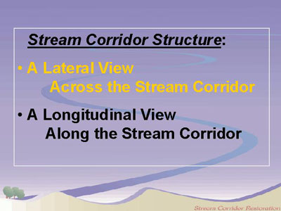
Stream Corridor Structure: A Lateral View
In spite of the fact that streams vary widely, most stream corridors have three major components in cross section:
-
Stream channel, a channel with flowing water at least part of the year.
Floodplain, a highly variable area on one or both sides of the stream channel that is inundated by floodwaters at some interval, from frequent to rare.
Transitional upland fringe, a portion of the upland on the landward side of the floodplain that serves as a transitional zone or edge between the floodplain and the surrounding landscape.
In many river corridors, a more complex assortment of features can be seen (click for small scale, or full-screen image). In this example, the floodplain is seasonally inundated and includes features such as floodplain forest, emergent marshes and wet meadows. This river's transitional upland fringe includes an upland forest and a hill prairie. Landforms such as natural levees are created by processes of erosion and sedimentation, primarily during floods. The various plant communities possess unique moisture tolerances and requirements, and consequently occupy distinct positions relative to the stream.